Mountain Running Parry Peak, Mount Bancroft, and James Peak: Quiet Trifecta On The Continental Divide
The other day we went out to do another link-up of peaks in the Colorado Rockies. Setting out for a good mountain run with both on-trail and off-trail terrain is always exciting. The Parry/Bancroft/James link-up is a perfect example. With some 4wd road to start, some nice single-track to end, and a bunch of off-trail terrain in between this is another classic - and it is on the Continental Divide so the views and position are spectacular.

Tara on the run up, Alice is down and in the distance...
To do the link-up, drive up to St. Mary's Glacier and turn off at the town of Alice for the Loch Lomond trail and lakes. You can drive up this road for 2 miles to Loch Lomond proper, but we decided to park early to get in a little more mileage - and save our car's shocks!
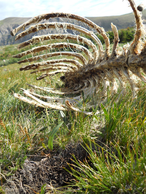
Elk carcass on Bancroft's slopes...
Run up the road to Loch Lomond - as you reach the Loch you can begin to orient yourself - Parry (13,391 feet) is on your far left, Bancroft (13,250 feet) is straight ahead, and James (13,294 feet) is back and to your right. At the Loch, there is a closed jeep road that quickly turns into a trail on the west side right before the dam. Take this as it will get you onto Bancroft's southeast ridge. Follow this up for 2,000 feet keeping to your left as you go up. This will put you just below Bancroft's summit proper, and allow you to cruz over and tag Parry's summit. From here, follow the ridge - Continental Divide - back north over Bancroft's summit and then down into the saddle between Bancroft and James' east slopes.

Tara on Bancroft - Parry in the background...
Once in the saddle, pick your way up onto James' east slopes, tag the summit, and then follow the single-track trail as you run back down through Jamaica Plateau. Keep your eye on the Loch below as you stay on the righthand side - there is a trail that you can pick up and which will drop you right onto the far side of the dam at the base of Loch Lomond. From here, run the road back the 2 miles to your car. On this day it took us 3 hours and 39 minutes.

James Peak - the final peak of the day from Bancroft...

On James, ready to head back down...

And of course, flowers...
The numbers for those who care....
Beginning Elevation: ~10,600 feet
High Point: 13,391 feet
Total climbing and descending: ~ 6,200 feet
Mileage: ~9 miles roundtrip from the Alice
Other People Factor: minimal
Time: 3 - 5 hours depending on how often you stop to enjoy the views...


